Highly integrated imaging system
Newly improved imaging system with one 20MP RGB camera and four 5MP multispectral cameras (green band, red band, red edge and near infrared). It is suitable for applications such as precise aerial measurements, crop growth monitoring and natural resources research.
Multispectral sensors with a resolution of 5 MP
Four multispectral cameras – green band, red band, red edge and near infrared.
Sunlight sensor
A built-in sensor captures solar radiation and saves it to the image file, enabling light alignment during 2D reconstruction. As a result, you can enjoy more accurate NDVI results, as well as greater precision and consistency of data acquired over time.
Accurate photos that capture every pixel
Mavic 3M is equipped with an RTK module that provides positioning with centimeter accuracy. The flight control system, camera and RTK module synchronize within microseconds to precisely determine the position of each camera’s imaging center. This allows the Mavic 3M to perform accurate aerial measurements without the use of ground control points.
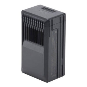
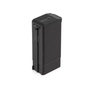
Performance-optimized batteries
A flight time of up to 43 minutes allows it to cover more ground during each mission, allowing it to cover up to 200 hectares.
Convenient charging
Fast battery charging with the 100W HUB charger or direct drone charging with 88W fast charging.
Stable signal, smooth image transmission
The O3 system integrates two transmitting signals and four receiving signals, so it can provide a transmission range of up to 8 km.
Omnidirectional obstacle detection [1], terrain-follow measurements
The drone is equipped with a number of vision sensors that have a wide field of view, precisely detect obstacles in all directions and enable them to be smoothly avoided. Moreover, the Mavic 3M allows you to easily perform terrain-follow measurements in areas with steep slopes.
Orchard mapping
Mavic 3M allows you to carry out terrain-follow aerial measurements in orchards – even on sloping terrain. You can also use it in conjunction with DJI Terra or DJI SmartFarm Platform [6] to reconstruct high-resolution maps and benefit from the ability to automatically identify trees, distinguish trees from other objects, and generate 3D operational routes for agricultural drones. All this translates into greater safety and work efficiency.
Planning variable dosage of fertilizers and plant protection products
Fertilizing rice, regulating the growth of cotton or spraying potatoes with foliar fertilizers – in each of these cases, DJI Mavic 3M will allow you to obtain multispectral images of crops. You can then use DJI Terra or DJI SmartFarm Platform [6] to prepare maps of NDVI and other vegetation indices, capturing differences in crop potential and generating recommendation maps that will enable agricultural drones to vary the application of selected inputs. All this will allow users to reduce costs, increase yields and protect the environment.
Intelligent field scouting
Mavic 3M can perform automatic field reconnaissance and transmit field surveillance images to the DJI SmartFarm Platform [6] in real time via 4G network. It enables quick detection of irregularities such as failure to emerge, weed density or crop lodging. It also allows for intelligent analysis, such as identifying cotton seedlings and testing rice production. The drone uses artificial intelligence to share real-time crop growth information, help guide agronomic activities and enable seamless management of up to 70 hectares of land by one person.
Monitoring the environment and natural resources
Mavic 3M will also be used in environmental and natural resources research, for example when monitoring water enrichment or checking the distribution of forests, inspecting urban green areas and more.